
.jpg)
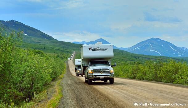
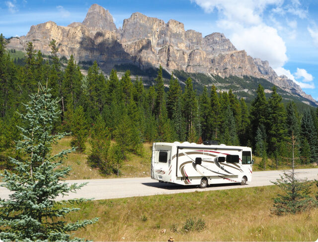
Looking to own an RV?
Browse Canada’s largest RV dealer, with locations from coast to coast.


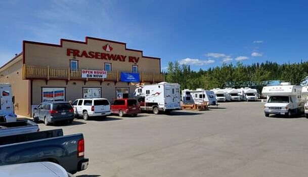
Pick up your RV at Fraserway RV in Whitehorse and head north on the Klondike Highway. Be sure to stop at the Braeburn Lodge for their incredible cinnamon buns! In Carmacks stop at the Tagé Cho Hudän Interpretive Centre to learn about the Northern Tutchone culture.
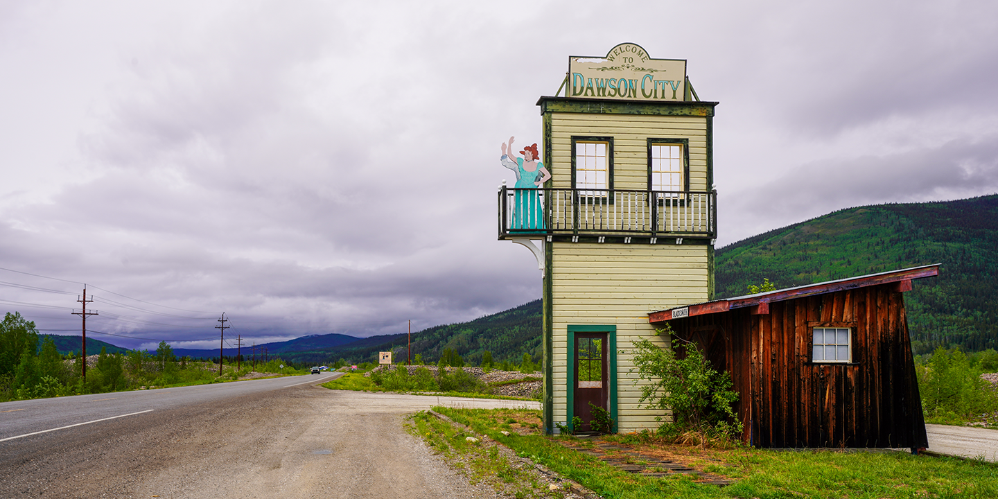
After this, you can stop at the Five Finger Rapids for a short hike down to the rapids. Upon arrival in Dawson City follow the trail from the end of the Yukon River Campground for a short walk to the Paddlewheel Graveyard.
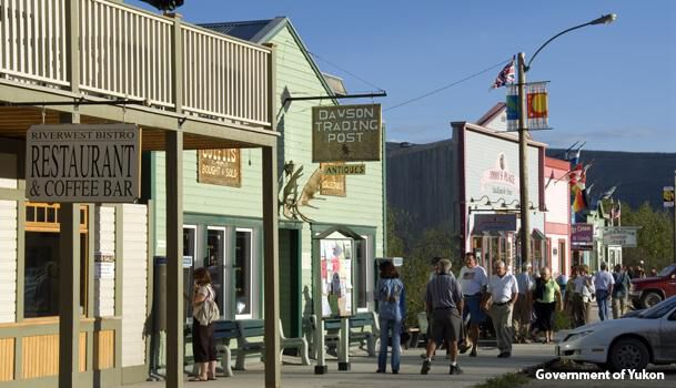
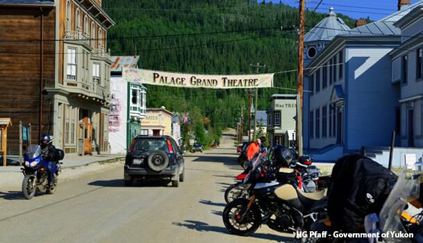
Spend a full day in Dawson City to enjoy the large variety of activities and places to see. The SS Keno is a preserved historic sternwheel paddle steamer located on the waterfront in downtown Dawson City. You can visit this National Historic Site on a guided tour. Another popular sight is the Robert Service Cabin, where you can listen to poetry readings or enjoy a guided tour.
Try your luck searching for gold at the Discovery Claim National Historic Site in the afternoon, followed by a drive to the top of the Dome for a spectacular sunset and view over Dawson City, and the Klondike and Yukon Rivers.
Drive 40 km south on the Klondike Highway to reach Mile 0 of the Dempster Highway. Top up your fuel here, as the next gas station is nearly 400 km away! The rough, unpaved Dempster Highway is the only road that provides access to Tombstone Territorial Park. Often called Canada’s Patagonia, the mountains in Tombstone Territorial Park are an amazing sight to see.
Stop at the Visitor Information just south of the park’s only campsite to learn more about the park. The centre hosts evening programs and special events throughout the summer.
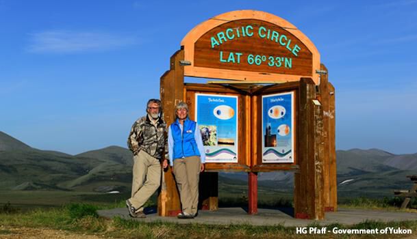
At km 405 of the Dempster Highway, it is time to break out the champagne and pose for a photo at the Article Circle sign as proof of your achievement. The Rock River campground is nestled in one of the few boreal forest stands in the region.
The campground is named after the river, whose Gwich’in name, Chii Deetak, means “river flowing between the rocky hills.” The open tundra begins just north of the campsite and stretches from here to the Beaufort Sea.
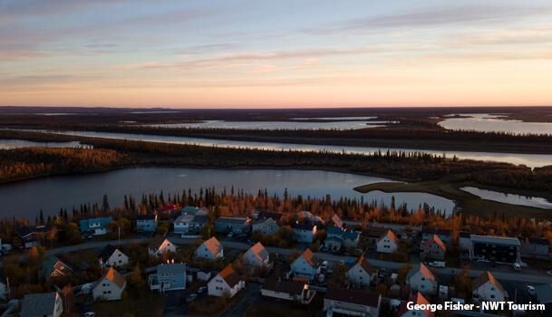
Travel through the Richardson Mountains and across the tundra to reach Inuvik. Upon arrival, a stop at the Visitor Centre will provide you with all the information you need. The Visitor Centre contains many interesting exhibits on art, flora and fauna, neighbouring communities and wildlife.
Nearby, you also find the Aurora research centre and an igloo church.
The Inuvik-Tuktoyaktuk Highway opened in 2017 and is Canada’s first public highway to lead directly to the Arctic Ocean.
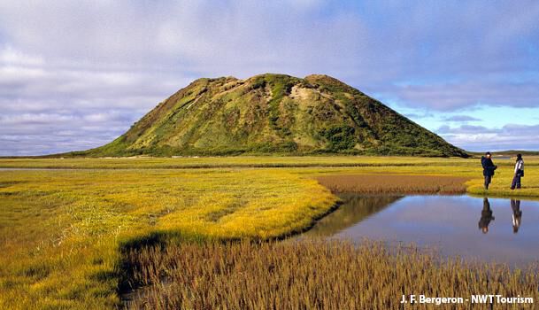
Upon arrival in ‘Tuk’ take a dip in the Arctic Ocean and the Tuktoyaktuk Ice House. Various local tour operators offer excursions to the Pingo National Landmark.
Depart Tuktoyaktuk in the morning for the trip back south. Just south of Inuvik the Tithegeh Chii Vitaii Lookout provides a spectacular view over Campbell Lake in Gwich’in Territorial Park. The park is home to several natural wonders of the Mackenzie Delta region: limestone cliffs, rare Arctic plant communities and migratory bird staging areas.
From here continue southbound to Nitainlaii Territorial Park, perched on a cliff overlooking the Peel River and surrounded by stands of white birch and white spruce trees. The visitor centre offers a fascinating glimpse of the life of the Gwich’in Dene people, past and present.
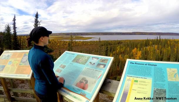
Just south of your campsite you will make your way back into the Yukon. The interpretive displays at the Yukon/NWT border describe the local wildlife and landscape and are worth stopping for. Remember to set your clocks one hour back here.
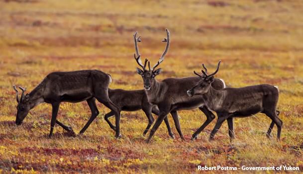
Further south the Ogilvie-Peel viewpoint provides expansive views of both rivers. Keep an eye out for Caribou from September through May in the afternoon.
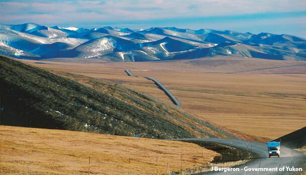
The final stretch of the Dempster Highway will take you back to the Klondike Highway. The North Fork Pass, at an elevation of 1,289 meters, is the highest point of the Dempster Highway. During the month of October, various herds of Caribou can sometimes be seen crossing the highway in this area.
A roadside pullout approximately 7 km further south offers a spectacular view of Tombstone Mountain.
Depart your campsite in the morning and return your RV to Fraserway RV in Whitehorse by 11:30 am.
Begin your adventures by signing up to receive newsletters with the latest deals and guides to RVing.
Each year, Fraserway RV supports numerous community and charity events by providing our goods and services, and by participating in and promoting fundraising events in non-profit sectors across Canada.